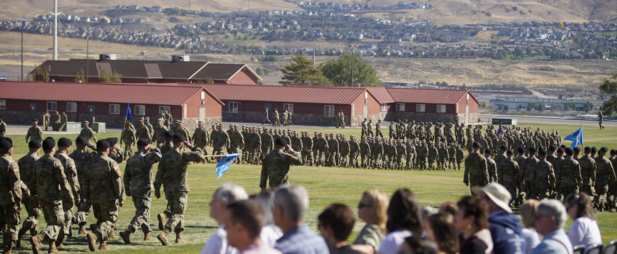
Utah Military Lands Compatibility Program: Preserving Our Military's Readiness
Welcome to the Utah Military Lands Compatibility Program – safeguarding the essential training facilities that underpin our nation's military preparedness. Utah's military installations possess a rich legacy of strategic significance, shaping history and nurturing economic growth. Recent assessments reveal an impressive $19 billion contribution from the defense sector, constituting over 10% of Utah's GDP. However, burgeoning urban development encroaches upon these installations, threatening military training and operations, and subsequently, our armed forces' readiness.
In response to these challenges, the Governor and Utah Legislature have recently enacted HB 265, effective since May 3, 2023, ensuring that land use surrounding vital military installations remains compatible. This legislation pertains to eight crucial military lands, including:
- Camp Williams (AGCW)
- Hill Air Force Base (HAFB)
- Dugway Proving Ground (DPG)
- Tooele Army Depot (TEAD)
- Utah Test and Training Range (UTTR)
- Nephi Readiness Center
- Cedar City Alternate Flight Facility
- Little Mountain Test Facility (LMTF)
Compliance with Utah Code Title 10-9a-5-537 is essential when requesting significant land use changes within 5000 feet of these installations. Our three-step process streamlines the transition, ensuring the interests of all stakeholders are accounted for:
Step 1: Compatible Use Plan
Municipalities and counties neighboring military lands collaborate with the Utah Department of Veterans and Military Affairs (UDVMA) to establish comprehensive compatible use plans. These plans consider compatibility factors such as resilience, air quality, biological and cultural resources, and more. External and internal studies guide plan creation, with attention to factors unique to each installation's size and mission.
Step 2: Municipality/County Notification
Upon receiving land use change applications, municipalities/counties inform the UDVMA completing the below form. A collaborative assessment process ensures proposed land uses align with military activities. CLICK TO VIEW/DOWNLOAD: Municipality/County Notification Form
Step 3: Executive Director Assessment
The UDVMA Executive Director evaluates proposed land use changes against the compatible use plan, responding within 90 days. This determination considers property rights, landowner aspirations, and the military's mission.
You can find more information and a detailed description of the program and process here: PROCESS FOR DETERMINATION OF COMPATIBLE LAND USE SURROUNDING MILITARY LANDS - Full Description
Questions? Please contact Tyler B. Smith, UDVMA Installation Resiliency Program Manager, at tbsmith1@utah.gov.
